
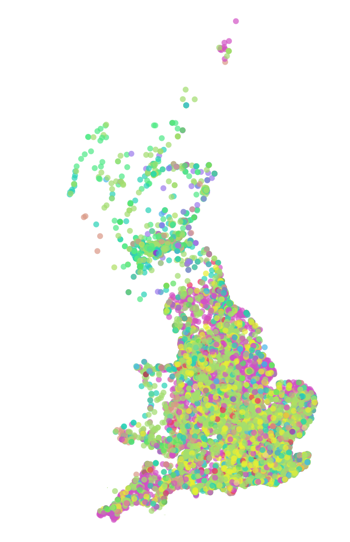
Improving Data on Places of Worship
Existing data sets are inaccessible, not transparently generated, and often have incomplete or flawed metadata. We are working directly with religious groups and denominations in the UK to generate open data which is sustainably maintained, open access, and highly accurate. By mapping places of worship we provide a unique dimension for the study of communities and cultures across Europe, provide a focal point for place-based sociology of religion and congregational studies, and provide a valuable resource to these communities for strategic planning.
Denominations
Nearly all denominations have a map of member congregations, but these tend to be hosted on google maps and other free (but nonetheless "alternatively commercialized") platforms. We want to bring together all these disparate datasets and provide churches with better free cartographic tools and location-based intelligence. Want to get your denomination on the map? It's an easy process to get started and you will have the ability to edit and update your data in real time using our simple but powerful CartoDB portal.

Parachurch Groups
We also welcome expressions of interest from para-church groups, particularly those interested in commissioning research by our team or engineering new mapping perspectives with our data for strategic insight or planning purposes.

What about my church?
Want to get just your place of worship on the map? No problem! Just put in your information using our online form and one of our data engineers will be in touch with you. Once we have all our data up on OpenStreetMap.org, you will be able to add and edit using the web or your smartphone. Also coming soon - our mapping community App!
Technical Details
If you want to know more about what's "under the hood" on mapping community, click through to our technical details page.